| Camera Network |
Camera Name |
| MONIMET |
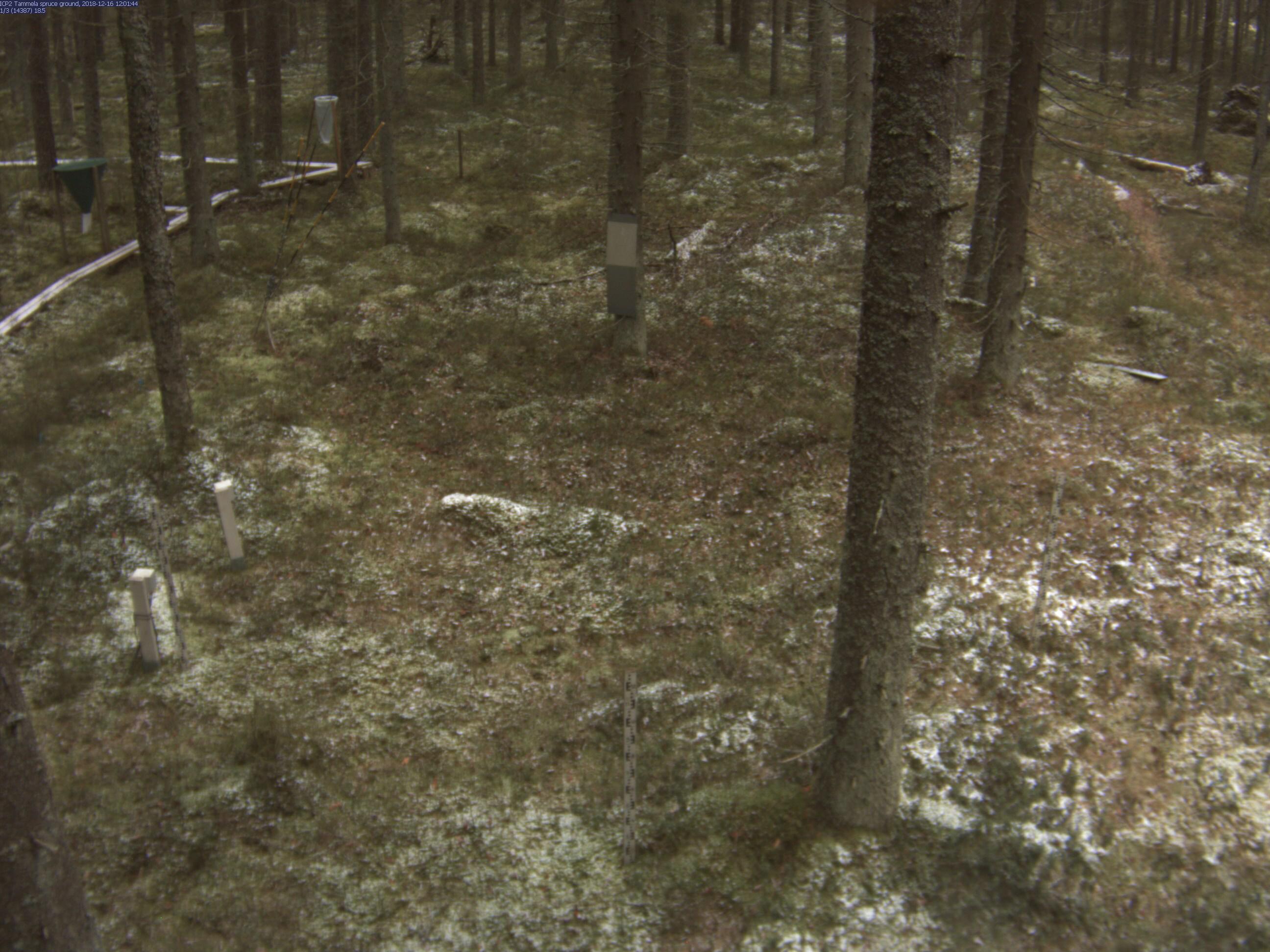
Tammela Spruce Ground |
|
Start |
End |
| Date |
2023-08-01 |
2024-08-31 |
| Time |
05:15:00 |
18:45:00 |
|
| Run analyses also for each polygon (ROI) separately: False |
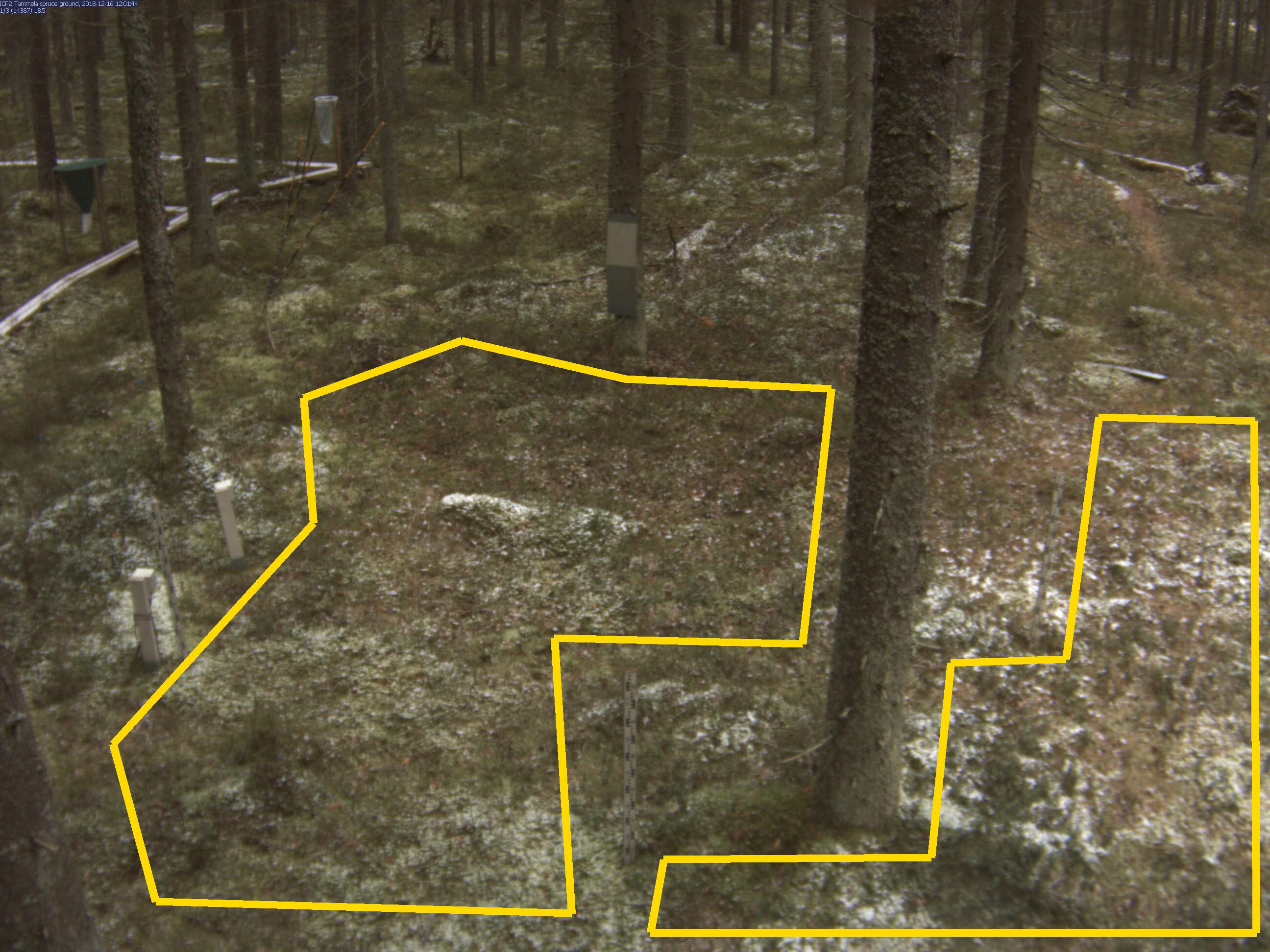
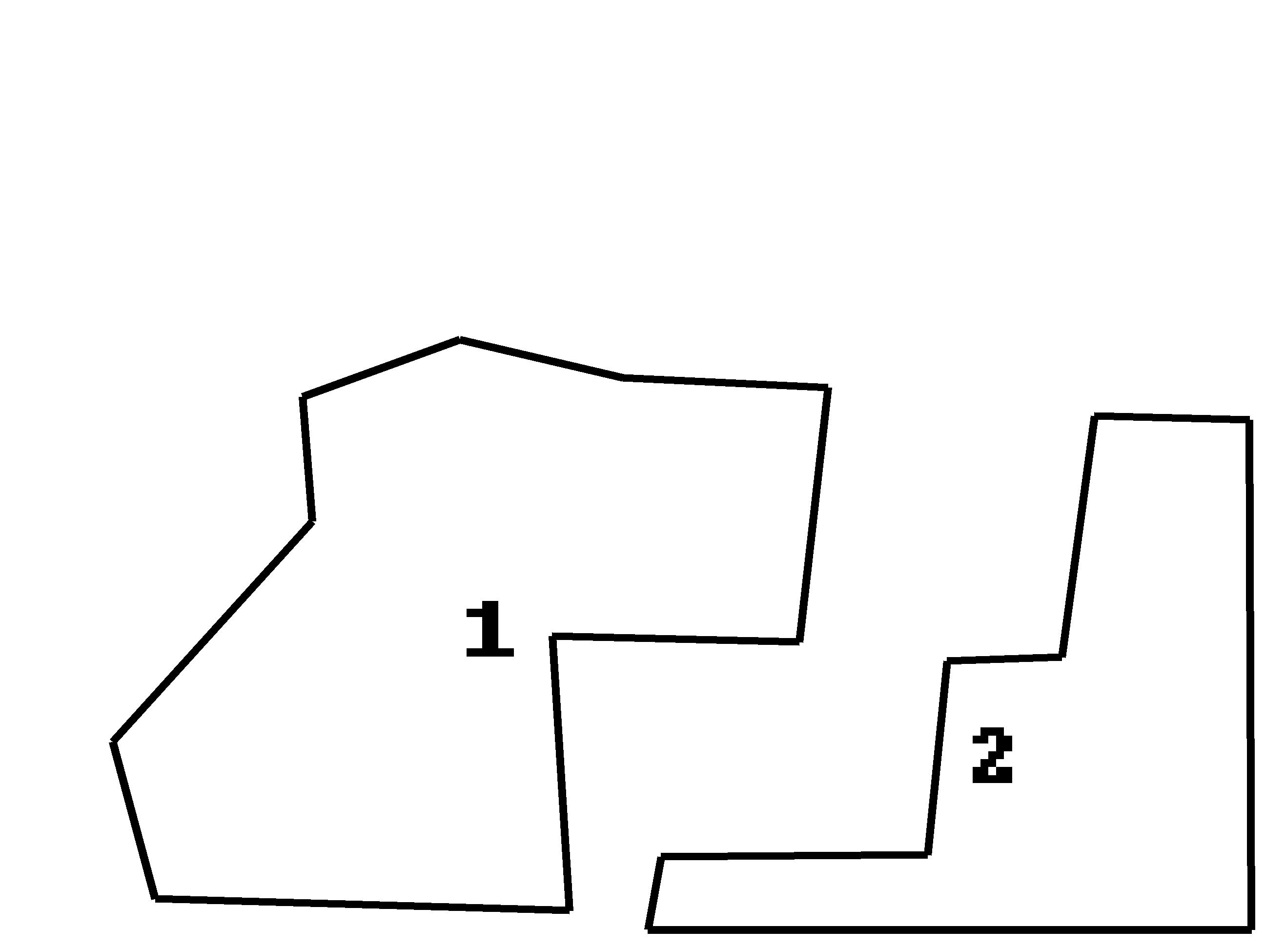
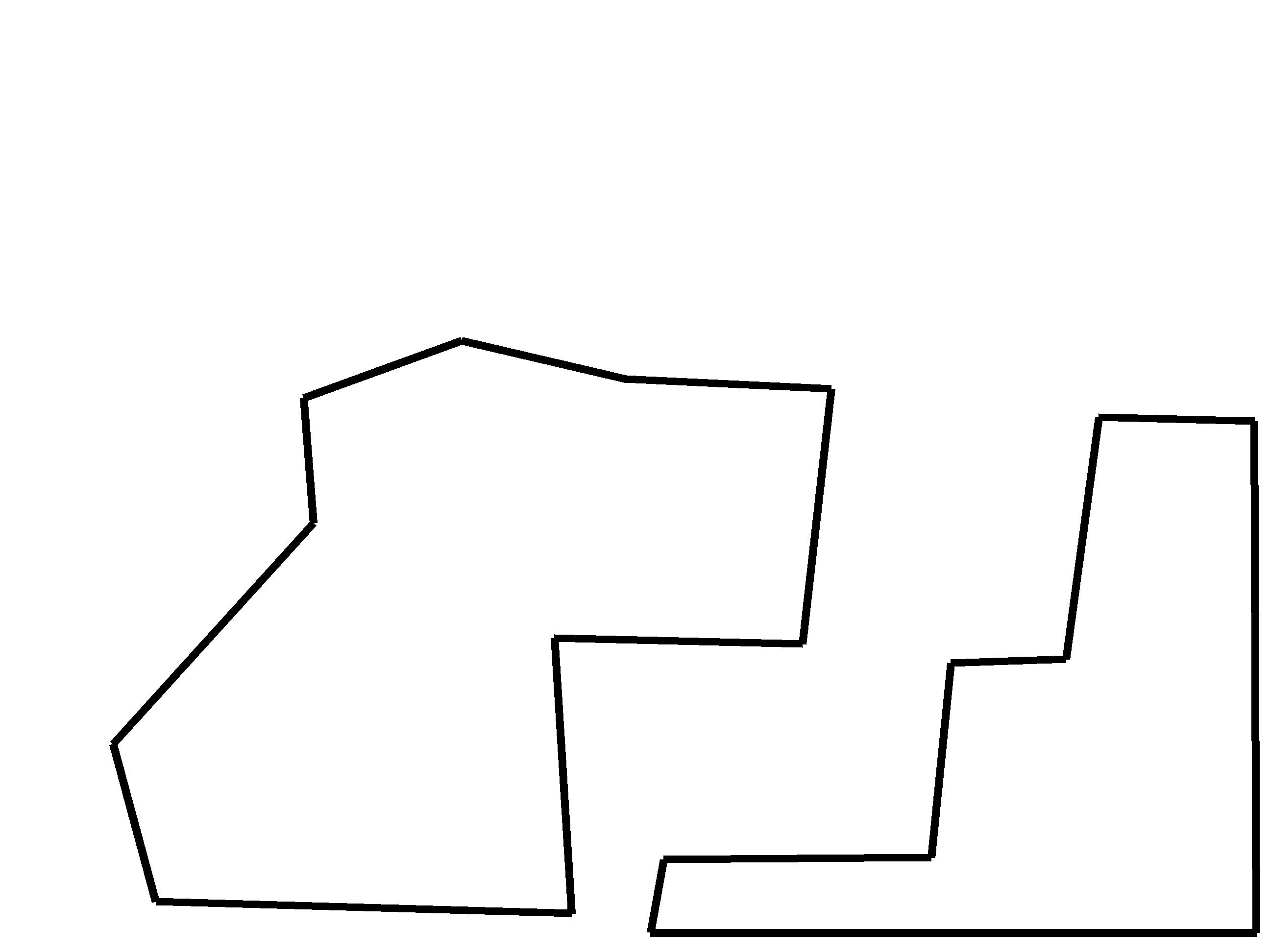
| Polygon | Image Coordinates | | 1 | 0.1227,0.9475,0.0894,0.7818,0.247,0.5495,0.2394,0.4182,0.3636,0.3576,0.4924,0.398,0.6545,0.4081,0.6318,0.6768,0.4364,0.6707,0.45,0.9596 | | 2 | 0.9894,0.9798 | 0.9879,0.4424,0.8652,0.4384,0.8394,0.6929,0.7485,0.697,0.7333,0.901,0.5227,0.903,0.5121,0.9798
| ROI Geolocation information |
| Coordinate system: WGS84(EPSG:4326) | | Geometry information is retrieved from camera metadata. |
| Point | Geolocation Coordinates | | 1 | 60.64598306,23.80650111 |
| Type |
Value |
Minimum |
Maximum |
| Image Threshold |
Brightness |
0.25 |
1.0 |
| Image Threshold |
Luminance |
0.0 |
1.0 |
| Image Threshold |
Red Fraction |
0.0 |
1.0 |
| Image Threshold |
Green Fraction |
0.0 |
1.0 |
| Image Threshold |
Blue Fraction |
0.0 |
1.0 |
| ROI Threshold |
Red Fraction |
0.0 |
1.0 |
| ROI Threshold |
Green Fraction |
0.0 |
1.0 |
| ROI Threshold |
Blue Fraction |
0.0 |
1.0 |
| Pixel Threshold |
Red Channel |
0.0 |
254.0 |
| Pixel Threshold |
Green Channel |
0.0 |
254.0 |
| Pixel Threshold |
Blue Channel |
0.0 |
254.0 |
| Pixel Threshold |
Grey Composite |
0.0 |
254.0 |
|
| Analysis No |
Analysis Name |
Analysis Parameters |
| 1 |
Snow Cover Fraction - SNOWCOV001 |
| Parameter |
Value |
| Include Red Channel |
Not Selected |
| Include Green Channel |
Not Selected |
| Include Blue Channel |
Selected |
| Store mid-step and extra output data |
Not Selected |
| Use georectification |
Selected |
| Spatial extent |
4;-4.6;13;3.6 |
| Spatial Extent Coordinate System |
ETRS-TM35FIN(EPSG:3067) GEOID with Camera at Origin |
| Spatial resolution |
0.001 |
| DEM Dataset |
NLS-DEM2 |
| Camera coordinates |
60.64598306;23.80650111 |
| Camera coordinate system |
WGS84(EPSG:4326) |
| Camera Height |
4 |
| Horizontal position |
-1 |
| Target Direction |
90 |
| Vertical position |
23.3 |
| Focal length |
4 |
| Scaling factor |
0.77 |
| Interpolate DEM Data |
Selected |
| Flat terrain |
Not Selected |
| Radial Center |
0.0;0.0 |
| Horizontal coefficient |
0.0 |
| Vertical Coefficient |
0.0 |
|
|