| Camera Network |
Camera Name |
| MONIMET |
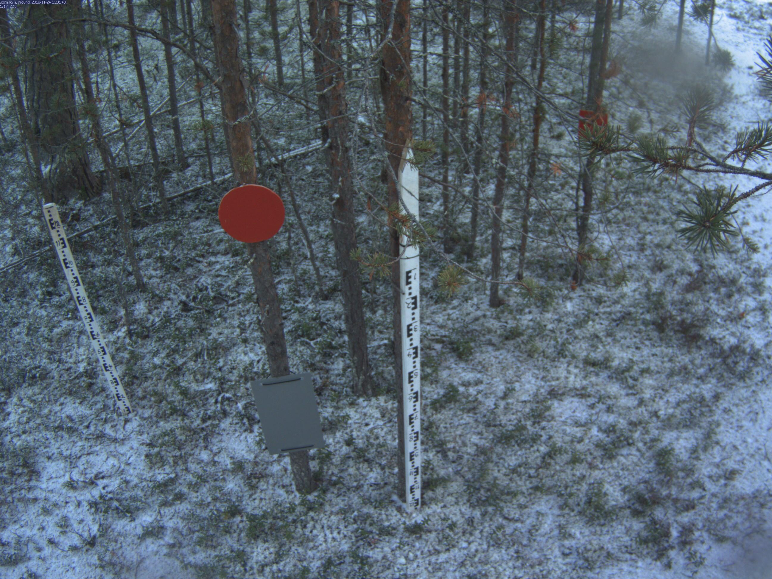
Sodankyla Pine Ground |
|
Start |
End |
| Date |
2020-08-01 |
2021-08-31 |
| Time |
05:15:00 |
18:45:00 |
|
| Run analyses also for each polygon (ROI) separately: False |
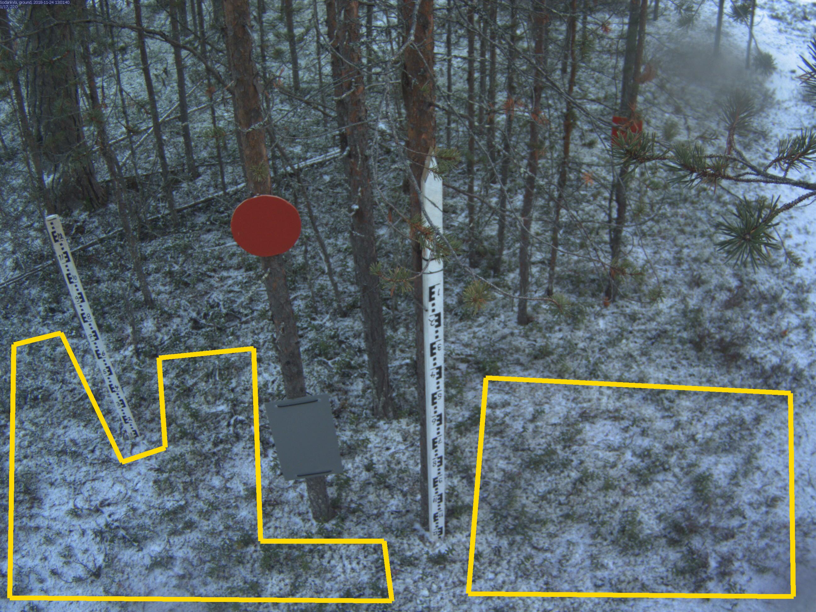
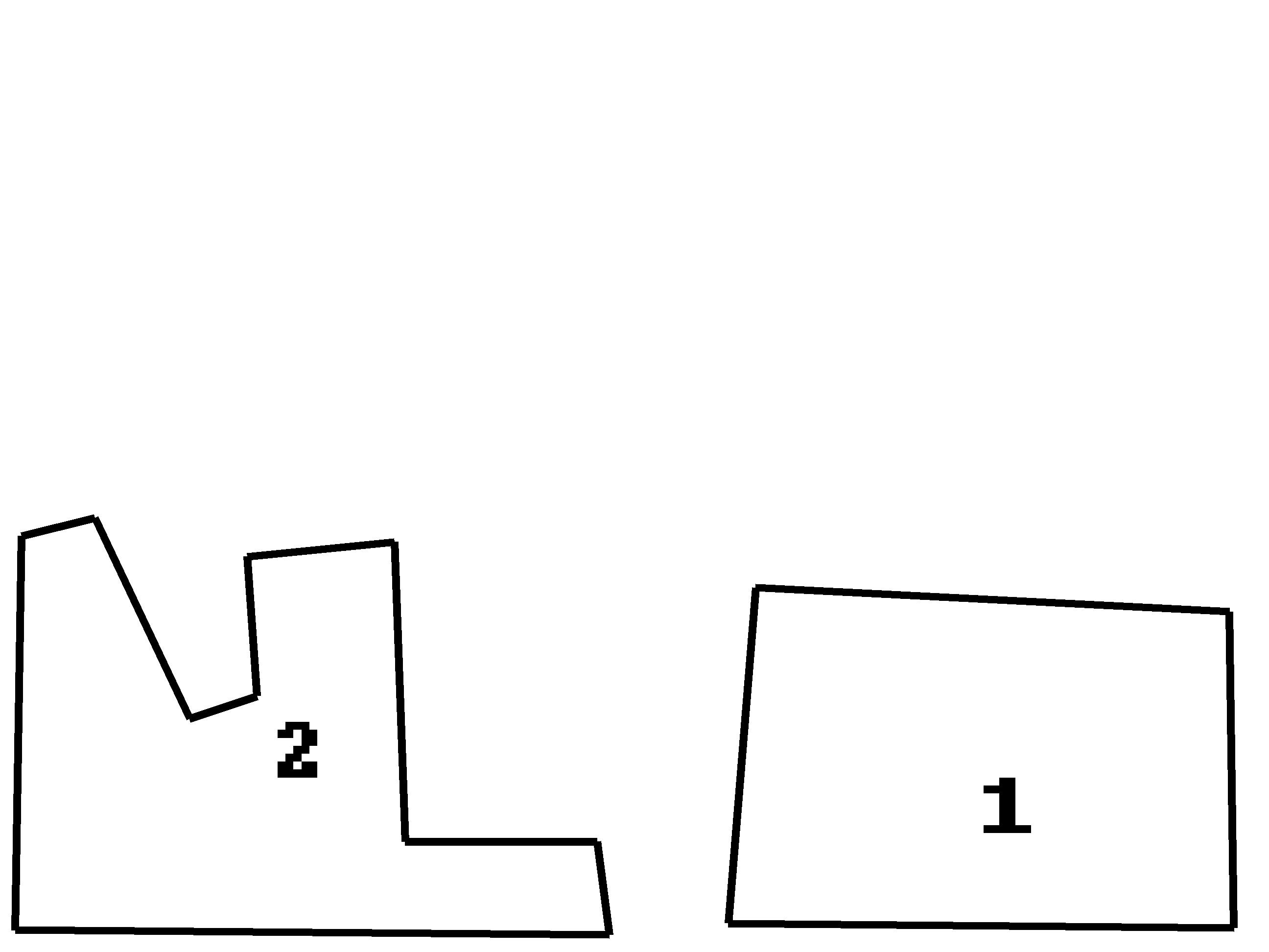
| Polygon | Image Coordinates | | 1 | 0.9725,0.9747,0.9688,0.6427,0.5956,0.6174,0.5739,0.9697 | | 2 | 0.0123,0.9773,0.017,0.5631,0.0748,0.5442,0.1496,0.7551,0.2027,0.7311,0.1951,0.5846,0.3106,0.5694,0.3191,0.8838,0.4706,0.8838,0.4801,0.9823 |
| ROI Geolocation information |
| Coordinate system: WGS84(EPSG:4326) | | Geometry information is retrieved from camera metadata. |
| Point | Geolocation Coordinates | | 1 | 67.36201,26.63751 |
| Type |
Value |
Minimum |
Maximum |
| Image Threshold |
Brightness |
0.35 |
1.0 |
| Image Threshold |
Luminance |
0.0 |
1.0 |
| Image Threshold |
Red Fraction |
0.0 |
1.0 |
| Image Threshold |
Green Fraction |
0.0 |
1.0 |
| Image Threshold |
Blue Fraction |
0.0 |
1.0 |
| ROI Threshold |
Red Fraction |
0.0 |
1.0 |
| ROI Threshold |
Green Fraction |
0.0 |
1.0 |
| ROI Threshold |
Blue Fraction |
0.0 |
1.0 |
| Pixel Threshold |
Red Channel |
0.0 |
254.0 |
| Pixel Threshold |
Green Channel |
0.0 |
254.0 |
| Pixel Threshold |
Blue Channel |
0.0 |
254.0 |
| Pixel Threshold |
Grey Composite |
0.0 |
254.0 |
|
| Analysis No |
Analysis Name |
Analysis Parameters |
| 1 |
Snow Cover Fraction - SNOWCOV001 |
| Parameter |
Value |
| Include Red Channel |
Not Selected |
| Include Green Channel |
Not Selected |
| Include Blue Channel |
Selected |
| Store mid-step and extra output data |
Not Selected |
| Use georectification |
Selected |
| Spatial extent |
1.3;-2.2;3.4;1.8 |
| Spatial Extent Coordinate System |
ETRS-TM35FIN(EPSG:3067) GEOID with Camera at Origin |
| Spatial resolution |
0.0005 |
| DEM Dataset |
NLS-DEM2 |
| Camera coordinates |
67.3618;26.638167 |
| Camera coordinate system |
WGS84(EPSG:4326) |
| Camera Height |
2.46 |
| Horizontal position |
0.0 |
| Target Direction |
96 |
| Vertical position |
35.3 |
| Focal length |
4 |
| Scaling factor |
0.74 |
| Interpolate DEM Data |
Selected |
| Flat terrain |
Not Selected |
| Radial Center |
0.0;0.0 |
| Horizontal coefficient |
0.08 |
| Vertical Coefficient |
0.08 |
|
|