| Camera Network |
Camera Name |
| MONIMET |
Hyytiala Pine Ground |
|
Start |
End |
| Date |
2014-08-01 |
2015-08-31 |
| Time |
05:15:00 |
18:45:00 |
|
| Run analyses also for each polygon (ROI) separately: False |
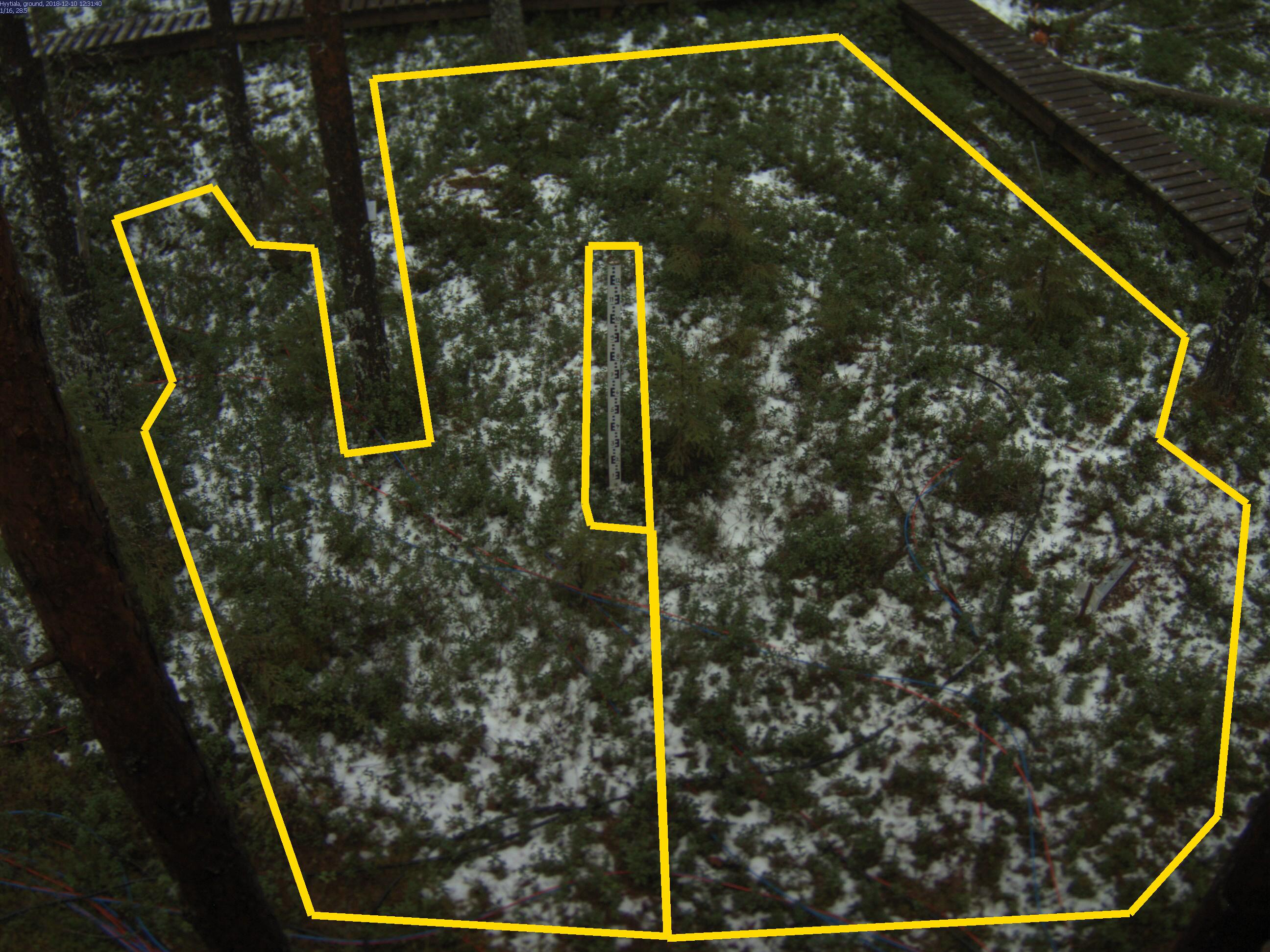
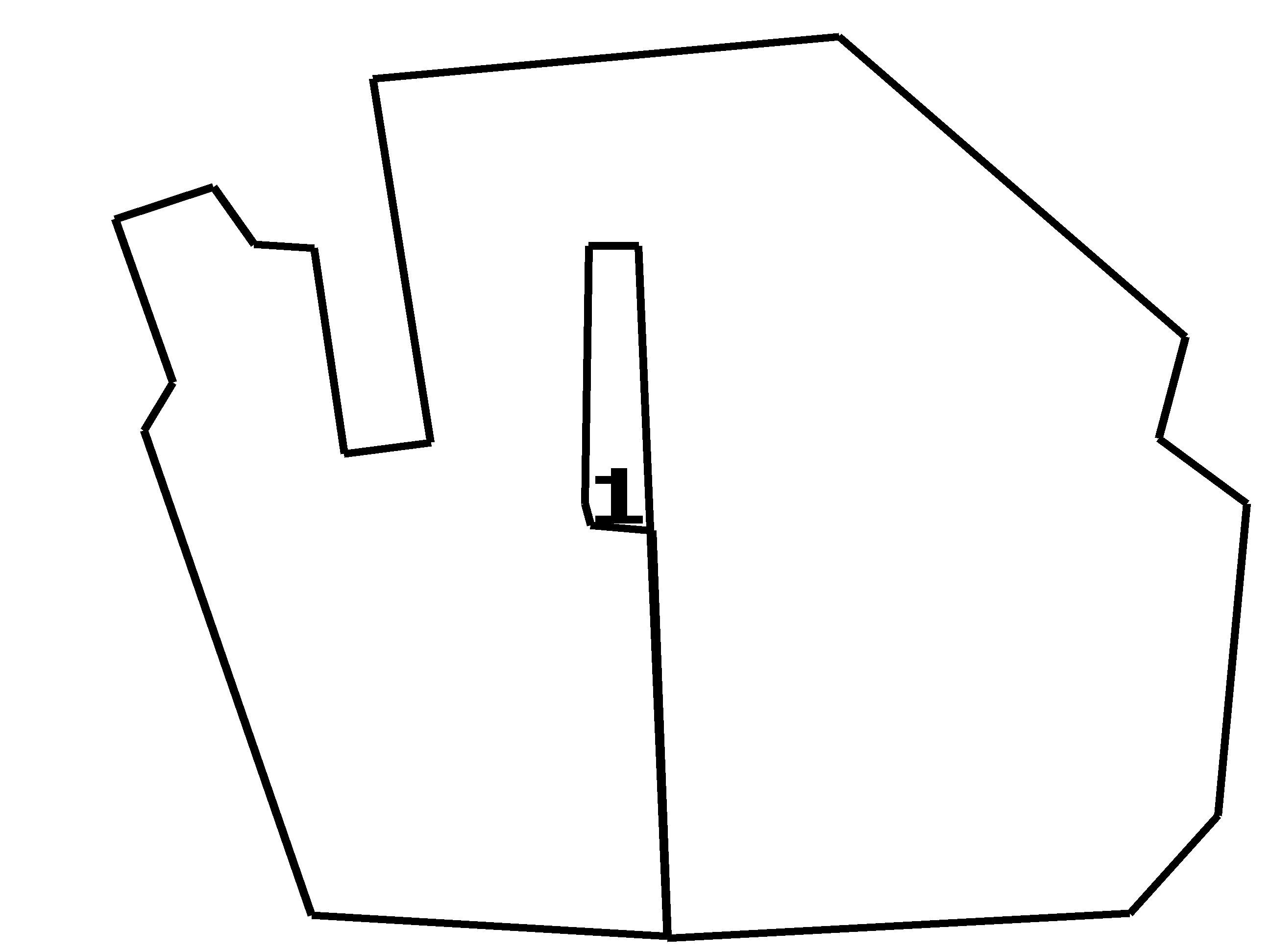
| Polygon | Image Coordinates | | 1 | 0.1136,0.4525,0.1364,0.402,0.0909,0.2303,0.1682,0.196,0.2,0.2566,0.247,0.2606,0.2712,0.4768,0.3394,0.4646,0.2939,0.0828,0.6606,0.0384,0.9333,0.3535,0.9121,0.4606,0.9818,0.5293,0.9591,0.8566,0.8894,0.9596,0.5258,0.9859,0.503,0.2586,0.4636,0.2586,0.4606,0.5293,0.4652,0.5515,0.5136,0.5576,0.5258,0.9838,0.2455,0.9616 |
| ROI Geolocation information |
| Coordinate system: WGS84(EPSG:4326) | | Geometry information is retrieved from camera metadata. |
| Point | Geolocation Coordinates | | 1 | 61.84769,24.29496 |
| Type |
Value |
Minimum |
Maximum |
| Image Threshold |
Brightness |
0.2 |
1.0 |
| Image Threshold |
Luminance |
0.0 |
1.0 |
| Image Threshold |
Red Fraction |
0.0 |
1.0 |
| Image Threshold |
Green Fraction |
0.0 |
1.0 |
| Image Threshold |
Blue Fraction |
0.0 |
1.0 |
| ROI Threshold |
Red Fraction |
0.0 |
1.0 |
| ROI Threshold |
Green Fraction |
0.0 |
1.0 |
| ROI Threshold |
Blue Fraction |
0.0 |
1.0 |
| Pixel Threshold |
Red Channel |
0.0 |
254.0 |
| Pixel Threshold |
Green Channel |
0.0 |
254.0 |
| Pixel Threshold |
Blue Channel |
0.0 |
254.0 |
| Pixel Threshold |
Grey Composite |
0.0 |
254.0 |
|
| Analysis No |
Analysis Name |
Analysis Parameters |
| 1 |
Snow Cover Fraction - SNOWCOV001 |
| Parameter |
Value |
| Include Red Channel |
Not Selected |
| Include Green Channel |
Not Selected |
| Include Blue Channel |
Selected |
| Store mid-step and extra output data |
Not Selected |
| Use georectification |
Selected |
| Spatial extent |
1.7;-5;10;1 |
| Spatial Extent Coordinate System |
ETRS-TM35FIN(EPSG:3067) GEOID with Camera at Origin |
| Spatial resolution |
0.00075 |
| DEM Dataset |
NLS-DEM2 |
| Camera coordinates |
61.84740;24.29529 |
| Camera coordinate system |
WGS84(EPSG:4326) |
| Camera Height |
4.3 |
| Horizontal position |
0.0 |
| Target Direction |
111 |
| Vertical position |
42 |
| Focal length |
4 |
| Scaling factor |
0.82 |
| Interpolate DEM Data |
Selected |
| Flat terrain |
Not Selected |
| Radial Center |
0.0;0.0 |
| Horizontal coefficient |
0.025 |
| Vertical Coefficient |
0.025 |
|
|